Description
Estimated time: 1 hours
Language: English
Modality: Virtual.
Summary of the course
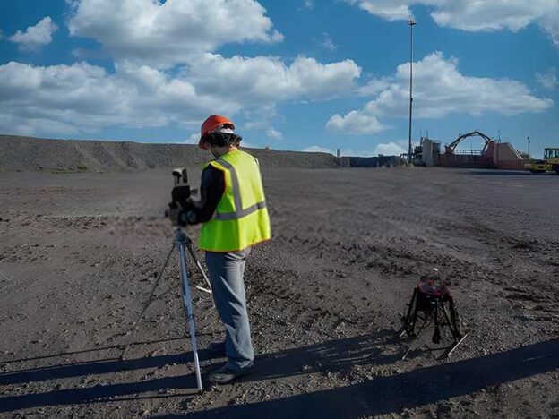
Surveying is the art of determining the relative positions of various points on, above, or below the surface of the earth using direct or indirect measurements of distance, direction, and elevation. As per CMR-2017, every mine plan should have the name of the mine and the name of the owner and the purpose, a clear indication of true north, or the magnetic meridian and date. The scale of the plan shall be at least 25 centimetres long and suitably subdivided & representative factor of 2000:1 or 1000:1. Properly inked in on durable paper, tracing cloth, or polyester film and be kept in good condition. All the reference stations at the surface and the reference points of underground surveys shall be shown in their correct position relative to the survey of India national grid within the limits of error of survey and plotting.
Enhance knowledge & skill of mine surveying. You will learn classification & benchmark of surveying, modern survey tools & instruments, the procedure of surveying, difference between map & plan. You will be able to do mine planning with the knowledge of dip & fault, Contouring, subsidence survey, plotting & maintenance of mine plan.
Official Certificate from steeluniversity
Receive a digital certificate signed by steeluniversity and worldsteel directors with the institution’s logo to verify your achievement.
Increase job prospects
worldsteel represents over 160 steel producers, national and regional steel industry associations, and steel research institutes. With a certificate from steeluniversity / worldsteel you can improve your CV to work for the steel industry.
Course Content


